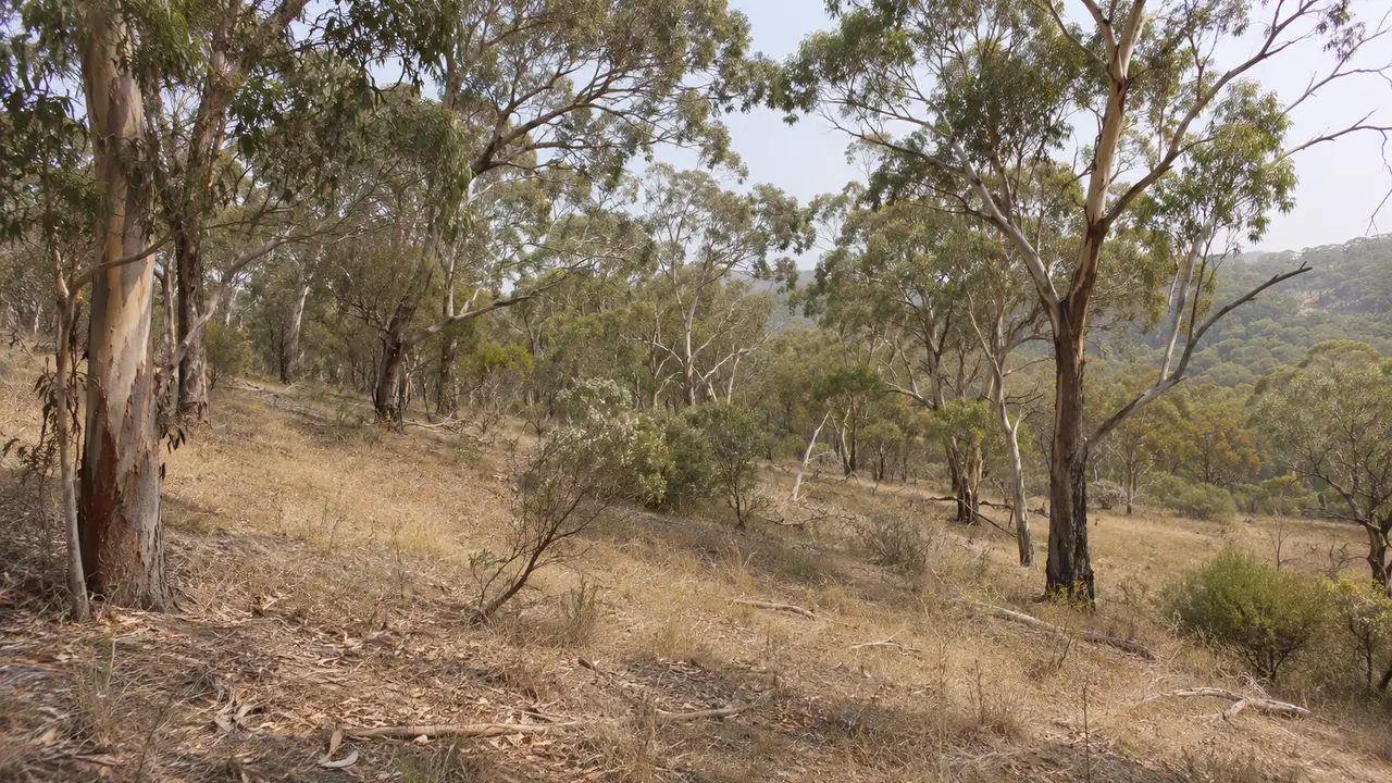
South-eastern Australia, including Victoria, is among the most bushfire-prone areas in the world, according to the Victorian Government. No single official national ranking of towns exists, so the answer comes from several sources: government statements, a private risk report and fire-frequency research.
Victoria leads the risk reports
A report by the risk assessment firm Risk Frontiers listed the 10 most fire-prone towns and suburbs in Australia, and all 10 are in Victoria. Halls Gap, Mt Buller, Jamieson, Lavers Hill and Lorne are among them. This is a private assessment, not a CSIRO or Geoscience Australia ranking, so treat it as one view.
Fire is becoming more frequent in the high country
A study of Victorian bioregions found that fire frequency is rising in all the ecosystems studied, though by different amounts. The biggest increases came in three higher-elevation bioregions:
- Snowy Mountains
- Victorian Alps
- South East Coastal Ranges
New South Wales defines the risk by distance
In New South Wales, bushfire-prone land means rural and urban areas within 100 metres of flammable vegetation. Geoscience Australia's bushfire chapter names the Blue Mountains as an example of densely vegetated south-eastern terrain affected by forest fires.
Seasonal outlooks name regions each year
The Australasian Fire and Emergency Service Authorities Council (AFAC) publishes seasonal outlooks. Its spring 2025 outlook flagged the south, south-west, central and south-west Gippsland regions of Victoria as having heightened risk. Outlooks change every season, so check the current one.
Where the Mornington Peninsula fits
Parts of the Peninsula sit inside a designated Bushfire Prone Area or a Bushfire Management Overlay. Mornington Peninsula Shire has also asked the state to review bushfire mapping in Sorrento and Portsea. The Shire's page does not say whether that review went ahead.
How to check your own property
- Open the Vic Planning map and search your address.
- Look for a Bushfire Prone Area or Bushfire Management Overlay.
- Read the CFA guidance on clearing vegetation around your home.
- Check the seasonal outlook before summer.
Questions people ask next
Is there an official list of the most bushfire-prone suburbs in Australia?
Not one that the sources reviewed here confirm. Geoscience Australia and CSIRO publish mapping and research, but no national town ranking turned up.
Is Victoria the most bushfire-prone state?
The Victorian Government describes south-eastern Australia as among the most bushfire-prone areas in the world, and the private Risk Frontiers report put all 10 of its top towns in Victoria.
Related questions
Planning a visit?
Start from the travel guide, then pick the question that matches your plan.
Browse all guides